Mapping the forest: Animal guide to cartography
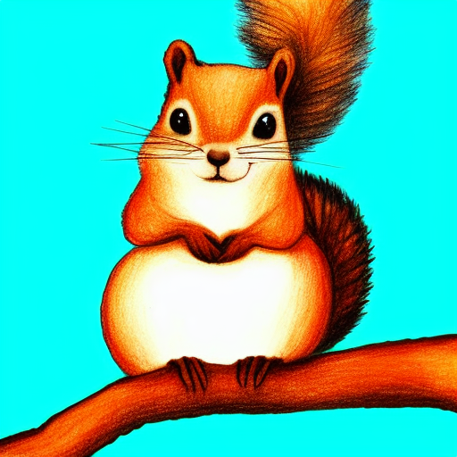
Once upon a time in a forest far far away, the animals fought a lot. This was no ordinary fighting. Not your usual lion-eats-deer kinda deal. It was a battle of wits, a tussle of opinions- for this was a forest of intellectual animals. All animals, smart as they were, had seen the forest with their own two (?[1]) eyes and made their own maps. The ant queen with her network of spies ascertained that the jungle was mostly brown and green. The fish insisted it was all wet. The squirrel tried to explain that they were both right and wrong at the same time but the hyenas laughed at her voice.
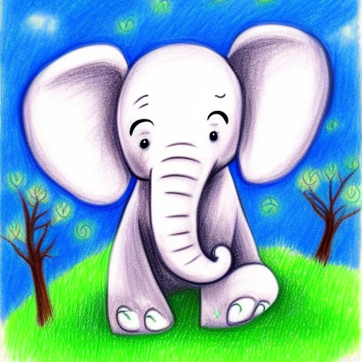
Finally the elephant decided that this had to stop for he could remember the animals bickering since he could remember anything. He asked this matter to be put on vote so that a consensus could be reached. The animals agreed out of love and respect for the kind beast.
Voting though sounded simple enough, wasn’t the end of the elephant’s troubles. The forest was vast and their lifespan was short. Some butterflies wondered if any of their children, or their children’s children or their children’s children’s children (you get the drift) would ever see the map. This conundrum left the elephant in deep thought. Then some light thought. And then some rare medium thought. And all this thinking put him to sleep. When he woke up, he had the answer.
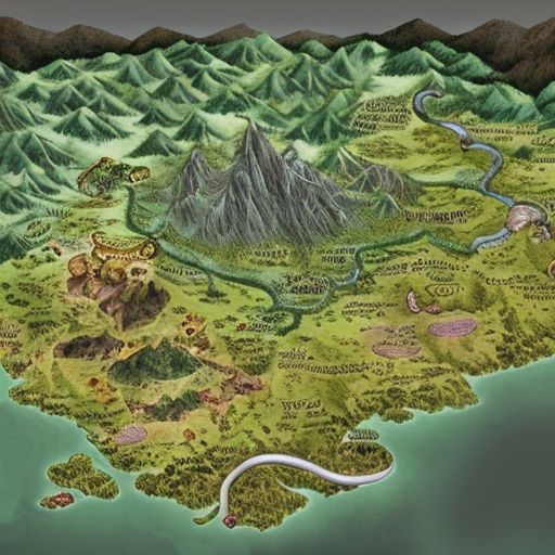
The elephant brought out a dusty old box. The box contained a dusty old map[2]. This wasn’t any old map. This was “the legendary map”. No literally. There was a legend about the map. The legendary map was so legendary that when the box was opened, angels[3] sang in the sky. They say that generations of elephants had charted the forest in their lifetimes and collected all their wisdom in this one map.
This clan of ancestral cartographers averaged their work through the millennia. So the legendary map showed- the average of the forest since its existence. In fact, the jungle never once looked exactly as the legendary map showed.It wasn’t a very good map of the forest. Nor was it supposed to be. If building a map was like building a building, the legendary map was excellent scaffolding. It was a map of how a map should look like.
Not everyone agreed with this assessment. The young hedgehog full of teenage rebellion criticized the old ways. He said they didn’t need the old unreliable map. They could just make a fresh one. He said it could be done with a fast computer. Never having seen a computer, the elders thought it was some kind of horse. The confused elders did not approve of looking like fools in front of their young. So they sent him to finish his homework.

And so with the naysayers safely out of the way, came the voting day. And animals arrived big and small[4], along with their little maps. And finally with much fanfare the legendary map was brought out and the little maps laid out. Hence the voting began.
The voting was a success right from the start. Everyone agreed that the river was on the east, coming down the hill. Only the fish disagreed because she was in it and couldn’t see from outside. Since, the elephants had seen the river there for a thousand generations, it was there in the legendary map too. And that made the elephant very happy. And so the river was marked on the map.
The banyan tree at GPS[5] location- "9.9312° N, 76.2673° E" was also voted quickly. The monkeys gave a detailed account of the area since they conducted parkour training there and knew the joint well.
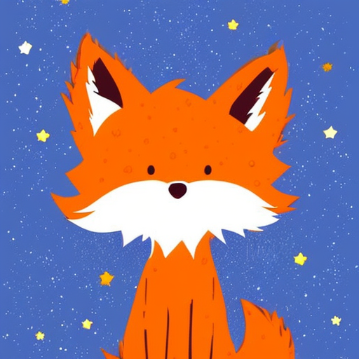
There were a few misses of course. Testimony from the lying fox was striked off and the account from a distracted kitten who wasn’t sure where she saw the path bend was ignored.
Thus with toil, tears and sweat, the little maps and the legendary map were matched up. The map created from everyone’s consensus was rather unimaginatively called the consensus[6] map.

And so the animals lived happily till the forest changed enough to cause a new round of arguing and the same round of actions repeated.
Footnotes

1. The author is not at liberty to dicuss the appropriate number of eyes in animals under advisement from the Jungle Judiciary Council(JJC). Court hearing pending for Fruitfly and Spider v. Forest Government.
2. Why was the map dusty inside the box, one cannot say. Maybe there was a hole in the box. Or maybe “somebody” forgot to dust the box from inside before putting the map in.
3. There were no real angels in the sky. Only a sniggering lyrebird who liked to play pranks on others on such important occasions.
4. No one can forget the 1888 voting day stampede where in an unprecedented logistical failure, dung beetles and rhinos were asked to submit their maps at the same time. May their souls rest in peace.
5. GPS = Great Panda System. Not to be confused with the Global Positioning System. It is a well known fact among animals that the map coordinate system was invented by the pandas who came up with the idea to mark the best bamboos. In fact, the idea was stolen by a human from the diary of a sleeping panda. The humans gave it a fancy name to sound intelligent. GPS is still a touchy subject in the panda community.
6. Everyone was hungry and tired by the end of the day. And everyone wanted to go home by now noticing the lion gazing at the deer with drool in his mouth.
7. Most of the drawings were done by the author using something called "Stable Diffusion". Incidently, the author too is extremely diffuse. "Diffuse" as in spread over a large area and not concentrated at all.